Page 568
Measuring Distances
To measure distances on a map, use the map scale. (See the sample above.) Line up an index card or a piece of paper under the map scale and put a dot on your paper at “0.” Put other dots at 100, 200, 300, and so on. You can now measure the approximate distance between points on the map.
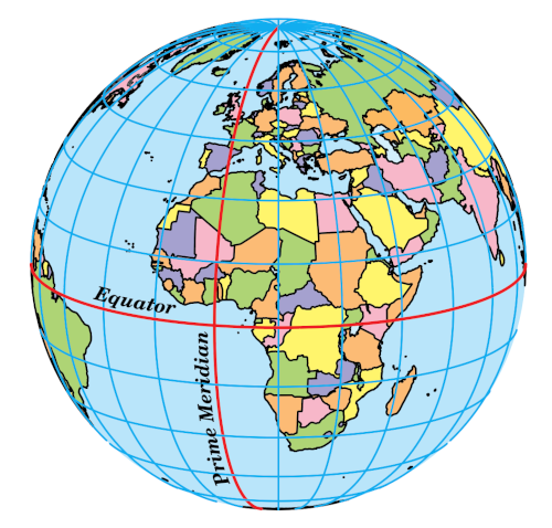
Locating Countries
Latitude and longitude lines are another helpful feature of most maps. Latitude and longitude refer to imaginary lines that mapmakers use. Together, these lines can be used to locate any point on the earth.